Maps & Street View

Explore Pitchikalapalem in Andhra Pradesh, find Ramalayam, and get directions.

Village center · 16.0712459° N, 79.8144724° E

Explore the village stops

Village center selected

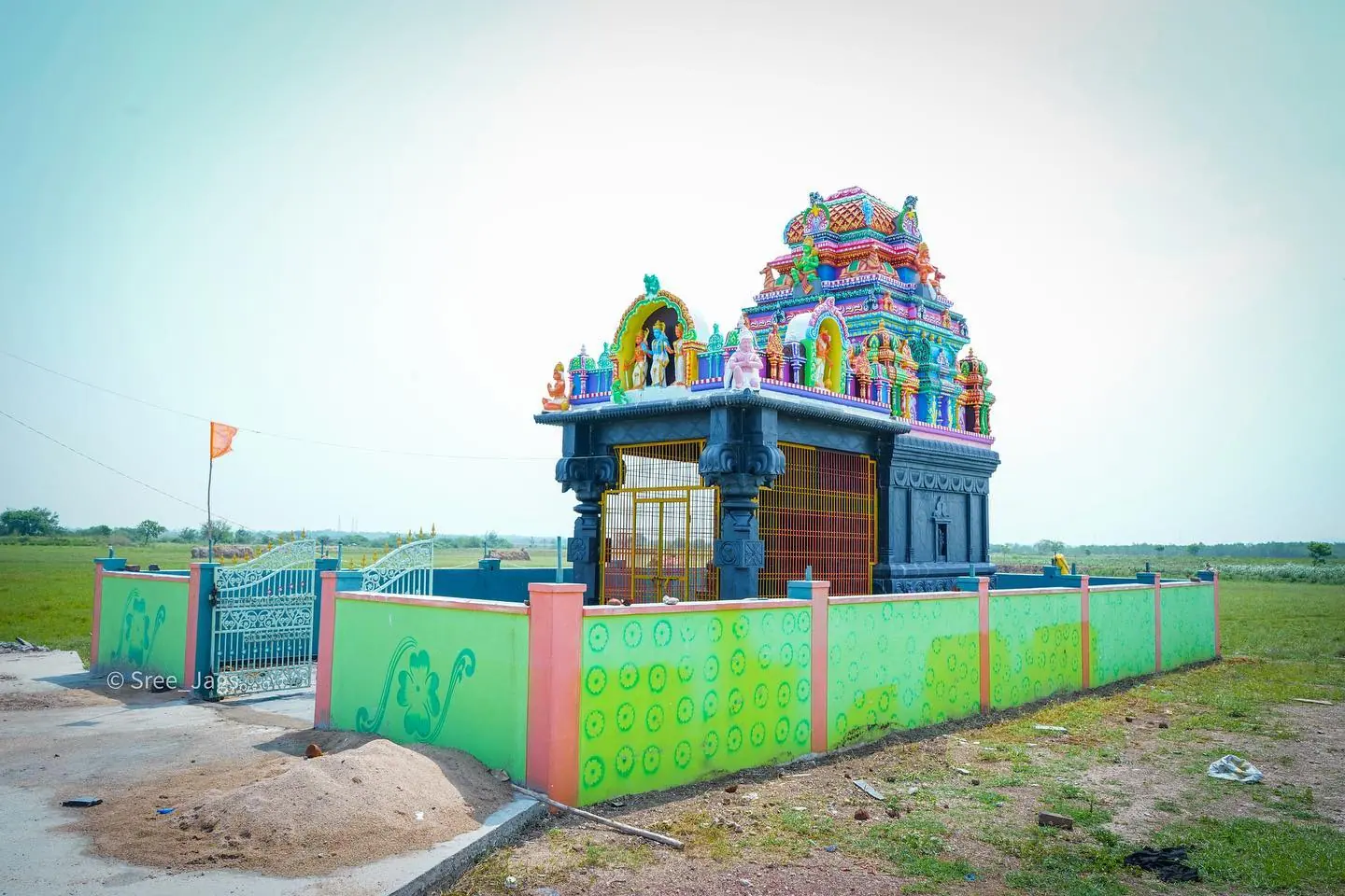
Village temple beside a field
Village archive photo

Ramalayam approach

Open the supplied 360° Google Street View panorama near the temple.

Open Google Street View
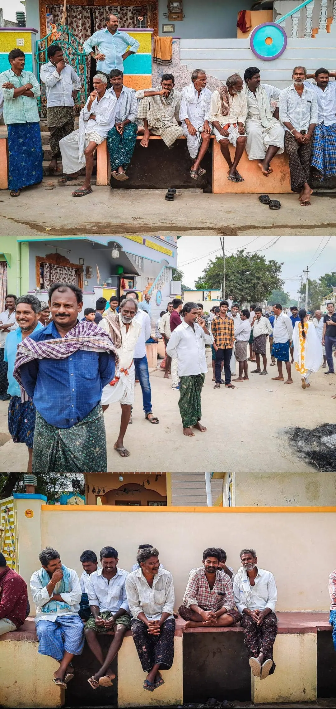
Scenes from village streets
Village archive reference photo

Bodrai junction

The exact Bodrai pin and panorama are unverified. The map shows the village area.

Find Bodrai on Google Maps
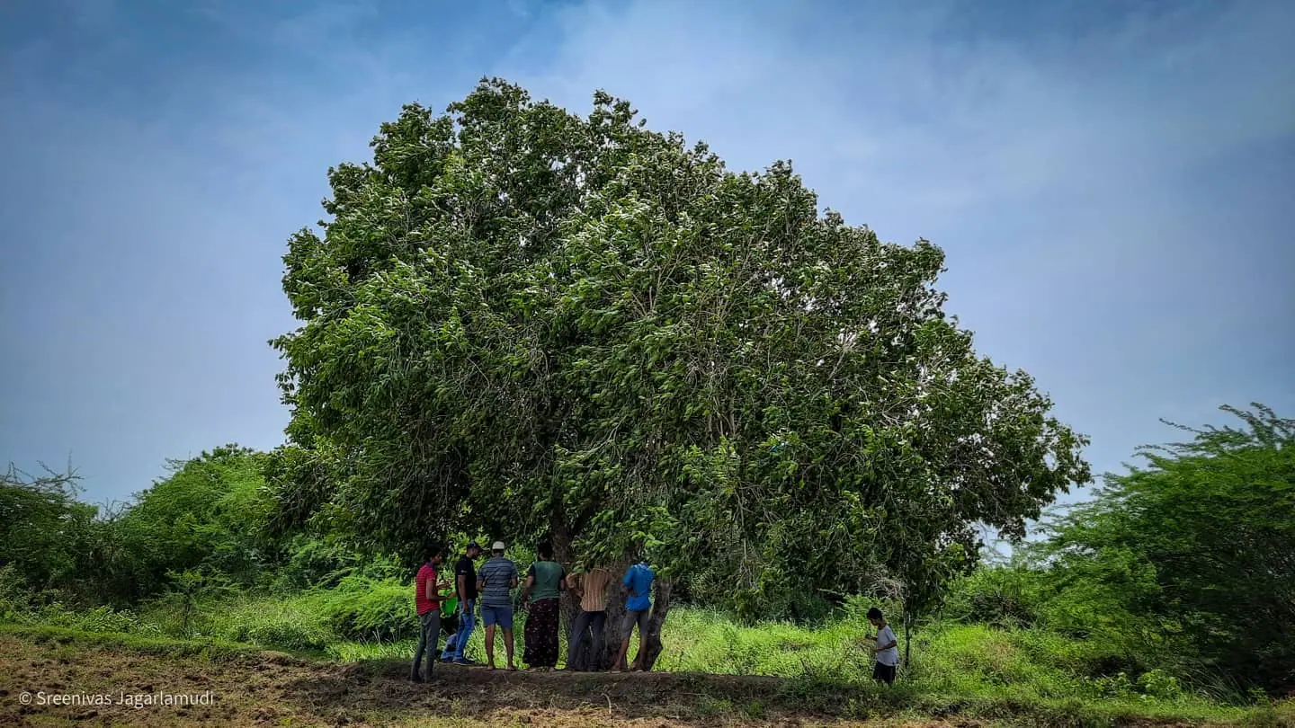
Neighbors by the roadside under a large tree
Village archive photo

Village center

Search for the nearest available Street View panorama from the village center.

Search nearby Street View
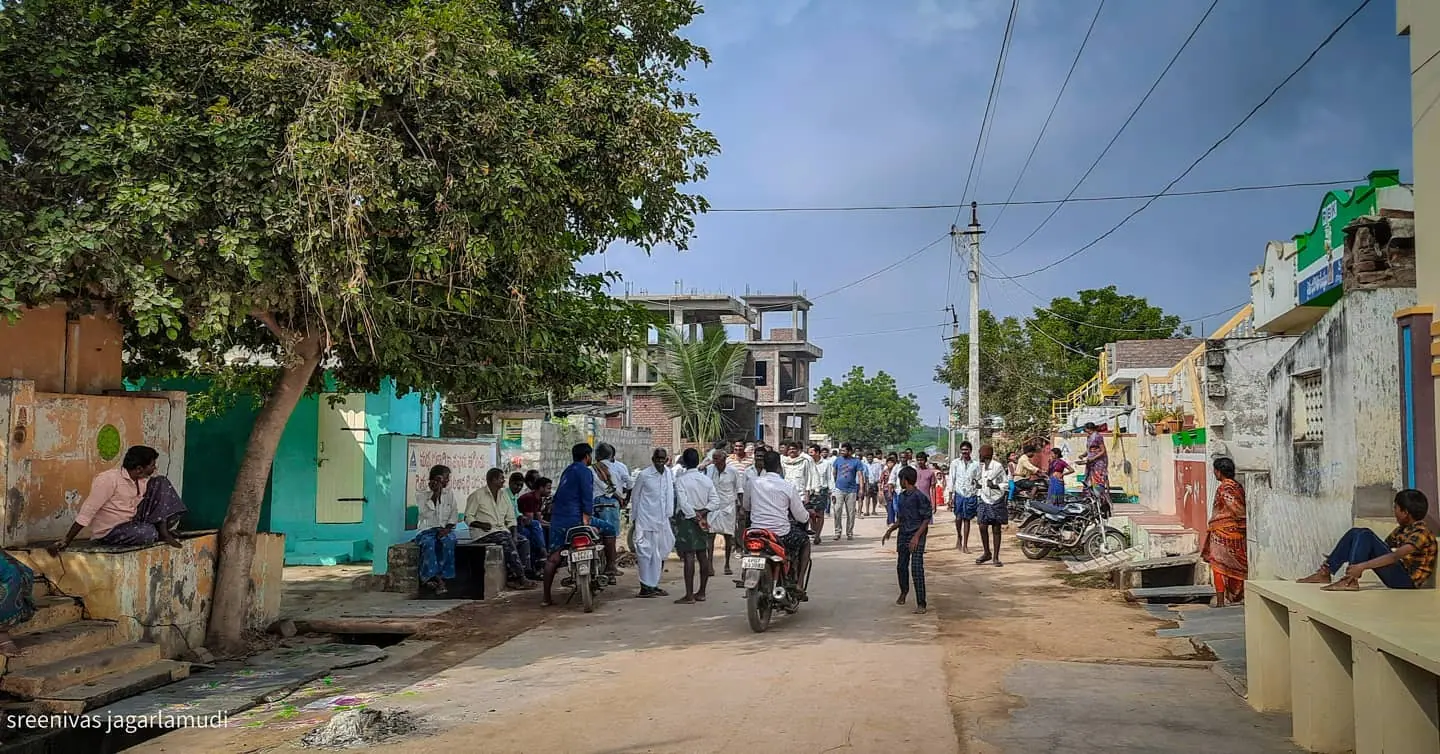
Tree-lined lane in the village
Village archive photo

Village lanes

Explore the surrounding lanes. Street View coverage varies by road.

Explore on Google Maps

Modify Person

Choose the person whose profile you want to update.

Add a Person

Share a person or family link for review.

Personal details
Gender (required)
Marital status (required)
Locations
Work and education
Profile photo (required)

Choose a clear photo up to 15 MB. Crop it to a 35:45 portrait before sending.

Crop profile photo

Center the face in the 35:45 frame. Drag the photo, or focus it and use the arrow keys.

Delete profile?

Submission received

The admin will review your submission and add it to the family tree once approved.

Import browser records

Anyone with the link can see imported approved profiles. Pending submissions go to your Review desk.

Edit text